
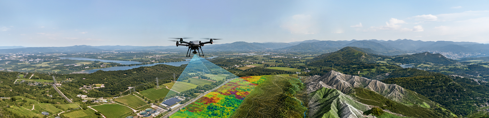
We provide precise geographic data solutions at various scales through high-resolution orthophoto production, photogrammetric mapping, and cadastral support services. Thanks to modern measurement technologies and advanced data processing methods, the generated outputs meet the need for reliable, up-to-date, and high-accuracy data in engineering, infrastructure management, urban planning, agriculture, and industrial projects.
We produce high-resolution orthophoto maps using UAV data. By transferring the field to the digital environment with all its details, we provide an up-to-scale, up-to-date base map infrastructure for your projects.
We accelerate cadastral processes with modern measurement technologies and obtain high-accuracy boundary/area data. We deliver technical measurement solutions that comply with engineering standards and support legal processes.
We transform raw data into meaningful geographic information using advanced photogrammetric methods. We deliver the reliable, up-to-date, and high-precision data you need for your infrastructure, planning, and agricultural projects.