
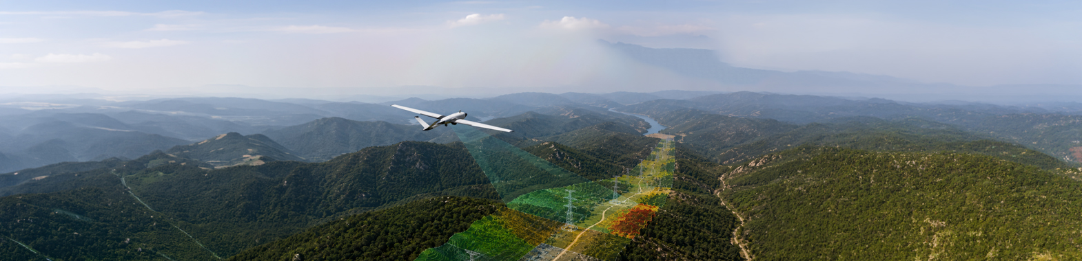
Our 3D terrain modeling technologies guide you from the planning stage to the execution process of your project. By transforming wide areas into high-detail point cloud data, we create digital twins that are fully compatible with CAD and BIM software. This allows us to generate high-accuracy digital terrain models that can be used in engineering calculations and planning workflows.
We reconstruct sites into highly accurate three-dimensional terrain models using high-density point cloud data. By generating reliable digital terrain models for engineering and planning processes, we provide precise spatial data that enables detailed analysis of real-world terrain conditions.
We perform high-accuracy volume calculations on excavation, fill, and stockpile sites, generating reportable technical data for engineering and operations teams.
We transform complex terrain structures into continuous surface models. We provide the most accurate elevation data and detailed slope analyses for your engineering and infrastructure projects.