
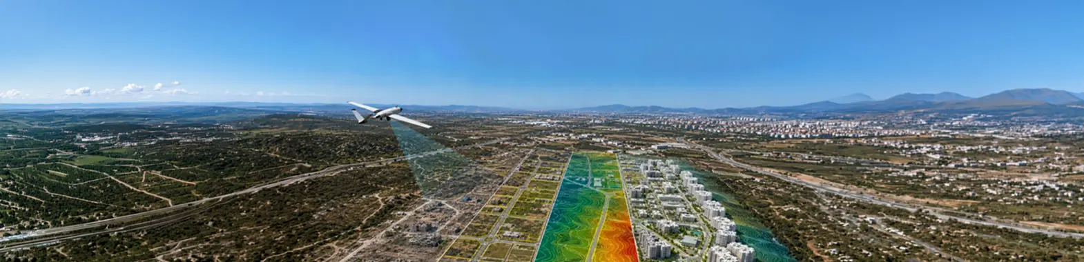
Ecosystems, coastal areas, and water basins are monitored with high accuracy through UAV-based periodic aerial observation studies. Thanks to regular data collection and analysis processes, environmental changes, differences in land use, the status of water resources, and coastal dynamics are effectively tracked to produce reliable decision-support data for scientific research, environmental management, academic studies, and public projects.
We regularly capture aerial imagery of ecosystems, coastal areas, and water basins using our UAV platforms. We record environmental changes as time series and track transformations in natural areas with objective data.
We analyze coastal dynamics, erosion, and differences in land use using high-resolution sensors. We materialize mobility in the field with digitalized data, delivering detailed site reports for resource management.
We process the raw data we collect through advanced analysis workflows, transforming them into decision-support mechanisms for public and academic projects. We generate high-accuracy technical data required for strategic planning processes.