Ecosystems, coastal areas, and water basins are monitored through UAV-based periodic aerial observations; reliable decision-support data is provided by analyzing environmental changes.
We offer high-accuracy geographic data solutions with orthophoto production, photogrammetric mapping, and cadastral support services.
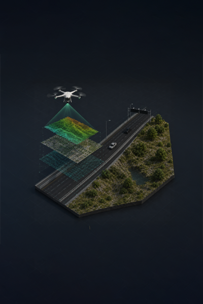
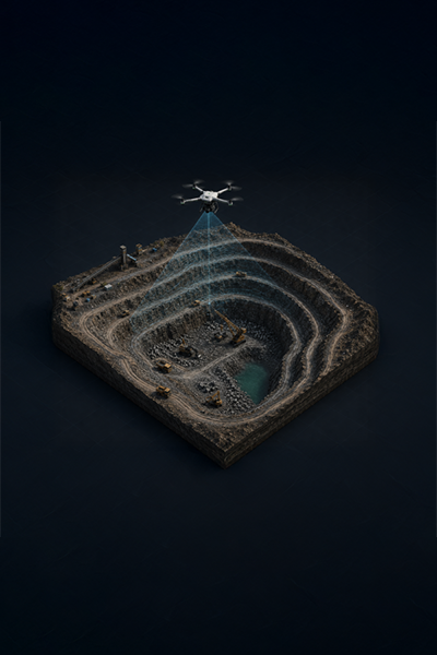
We support planning and engineering processes by transforming large areas into high-accuracy digital models with our 3D terrain modeling technologies.
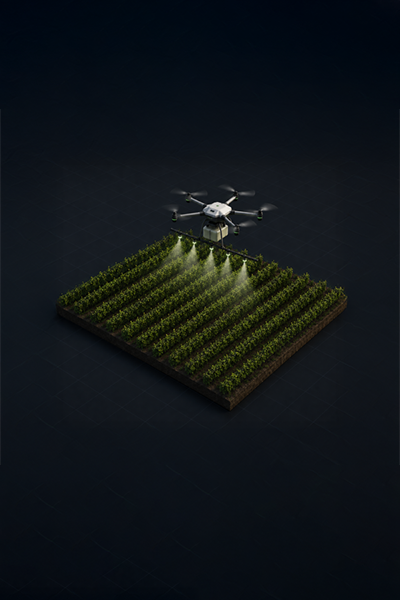
With our smart agriculture solutions, planting areas and crop development are analyzed to support efficient, sustainable, and accurate decision-oriented agricultural management.
Envision is a technology company specializing in small and mini unmanned aerial vehicles, imaging systems, and geographic data technologies.
We transform the physical field into measurable digital information through our solutions developed in the fields of environmental monitoring, multispectral imaging, mapping, scanning, and 3D terrain modeling.
Our approach is not merely to collect data, but to process and make sense of the acquired data in line with operational needs, rendering it usable in decision-making processes.
By subjecting the collected aerial data to advanced analysis and AI-supported processing procedures, we transform them into meaningful reports and produce outputs that can be integrated into operational decision-making processes.
By processing data obtained from mission-critical sites through advanced photogrammetric and AI-supported processing workflows, we produce high-accuracy point clouds, orthophotos, and analytical outputs.